
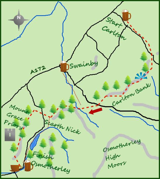
TAKING in a popular section of the splendid Cleveland Way long distance walk, this taster (nine miles long though) takes in moors, woodland, fields and outstanding views. Being one of the popular one-way walks (using the local bus service) enhances the enjoyment.
The 89 bus leaves Osmotherley at 8.55 or 12.30 on its way to Stokesley (do check the times however) and takes 20 minutes to arrive at the small village of Carlton in Cleveland. Head south east along the road towards the hills and after a gradual start climb steeply to Carlton Bank. At a bend in the road, as it reaches its highest point, follow the track directly ahead on to open hillside. The path meets a second track after 200m, turn right and climb steeply. You are now on the Cleveland Way/Coast to Coast long distance routes.
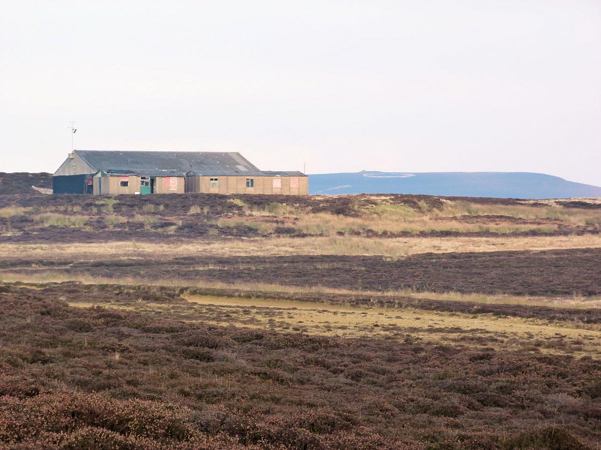
From here there is a 300m climb to the summit of Carlton Bank, marked by a trig point. At over 400 metres the summit area offers views across Teesside that are far reaching and interesting although I do prefer countryside to a vast urban sprawl. To the south lies the old gliding station.
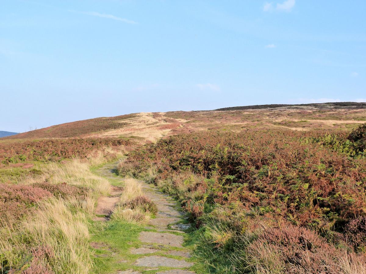
The path makes its way through bracken for the next three-quarters of a mile before turning towards the west and starting to drop. The views are now across countryside and are excellent. The path continues for a further mile dropping steadily apart from one small hillock before arriving at some trees.
Follow a forestry track west and downhill for a further 200m before exiting the woods and meeting another path. Turn left and follow the line of the trees till it meets a minor road. Take to the road south for 200m past some houses on your right before leaving the road at a Cleveland Way signpost and continuing along a track heading south west.
This enters the woods again and bends north west. Follow this farm track for half a mile before turning south west for a further half a mile to meet a second road at Scarth Nick. It is an ancient drovers road through the moors, the name derived from Old Norse meaning ‘cleft’ or ‘notch’.
Cross the road and climb steadily west on a good track for three-quarters of a mile till it reaches the western escarpment of the North York Moors with views over the Vale of York. The track divides, the quickest route to Osmotherley is by taking the left fork but I advise the right one which passes a trig point and remains for half a mile above the tree line. The path does re-enter the trees for a short while but soon emerges on open pasture before turning left and finishing with a short climb before entering Osmotherley at it norther fringes.
Fact Box:
Distance: Roughly 9 miles
Height to Climb: 580m (1,900 feet)
Start: SE 456972. Park in Osmotherley and get the 89 bus from the centre.
Difficulty: Medium/Hard. This is an undulating walk but always sticks to good tracks.
Refreshments: Osmotherley has a choice of 3 good pubs.
Be prepared: The route description and sketch map only provide a guide to the walk. You must take out and be able to read a map (O/S Explorer 26) and in cloudy/misty conditions a compass (essential on this walk). You must also wear the correct clothing and footwear for the outdoors. Whilst every effort is made to provide accurate information, walkers head out at their own risk. Please observe the Countryside Code and park sensibly.
Jonathan is the owner of Where2walk, a walking company based in the Yorkshire Dales:
• He has written 3 books on walking in the Dales; ‘The Yorkshire 3 Peaks’, ‘The Dales 30’ mountains and the ‘Walks without Stiles’ book. All these books (and more) are available direct from the Where2walk website.
• Book a Navigation (Map and Compass Skills) Training day near Settle or a bespoke day for a private group. The next available date is Sunday May 4th.
• Join our “Dales 30 Weekenders” in Hawes & Sedbergh.
Where2walk.co.uk also features 100’s of walks across Yorkshire and beyond, from easy strolls to harder climbs.


Comments: Our rules
We want our comments to be a lively and valuable part of our community - a place where readers can debate and engage with the most important local issues. The ability to comment on our stories is a privilege, not a right, however, and that privilege may be withdrawn if it is abused or misused.
Please report any comments that break our rules.
Read the rules here