
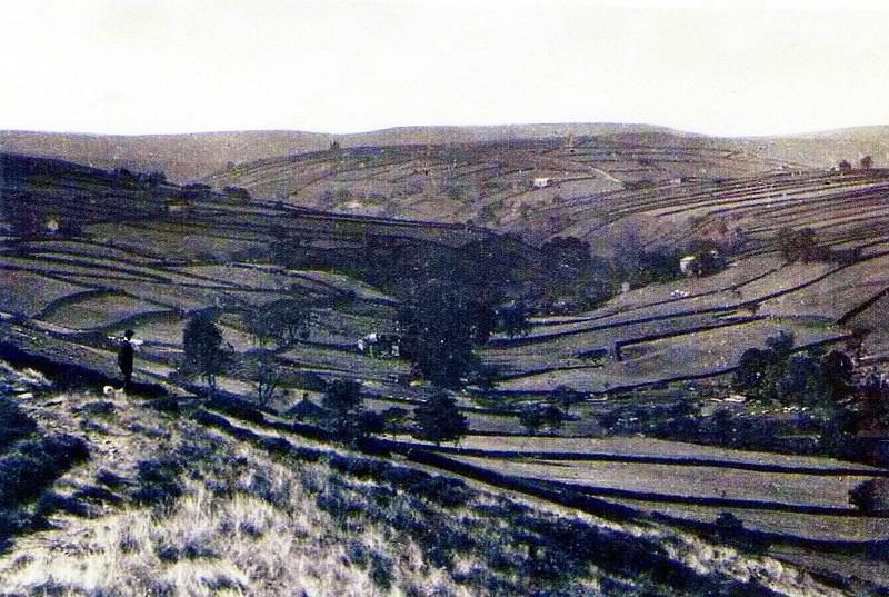
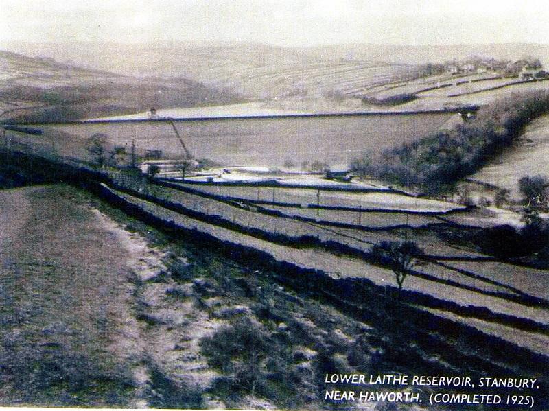
This view of the Lower Laithe Reservoir and its embankment near Stanbury, probably photographed soon after its completion in 1925 (inset), contrasts with the older close-up of the area to be submerged (main picture).
The Lower Laithe or Sladen Valley Scheme traced its origins back to the Keighley Waterworks and Improvement Act of 1869, though its plans were substantially modified in 1912. The reservoir statistics are impressive. Its maximum depth is 60ft, its area 31½ acres and its total capacity 281¼ million gallons. Its embankment is 1,010ft long and 84½ft above the bed of the Sladen Beck.
The road along the embankment is a diversion of Waterhead Lane which used to cross the valley through the middle of the reservoir area. Also submerged were Lower Laithe Farm and Bridge and an old worsted mill, together with the memories of older Stanbury residents. Joseph Craven, author in 1907 of a history of Stanbury, remembered helping his father to cut wood there for clog soles.
The photographs have been supplied by Mr Ian Brierley, of Bridgehouse Lane, Haworth.


Comments: Our rules
We want our comments to be a lively and valuable part of our community - a place where readers can debate and engage with the most important local issues. The ability to comment on our stories is a privilege, not a right, however, and that privilege may be withdrawn if it is abused or misused.
Please report any comments that break our rules.
Read the rules here